Photo Gallery
10 Photos

Click on any image to view in full size
About This Attraction
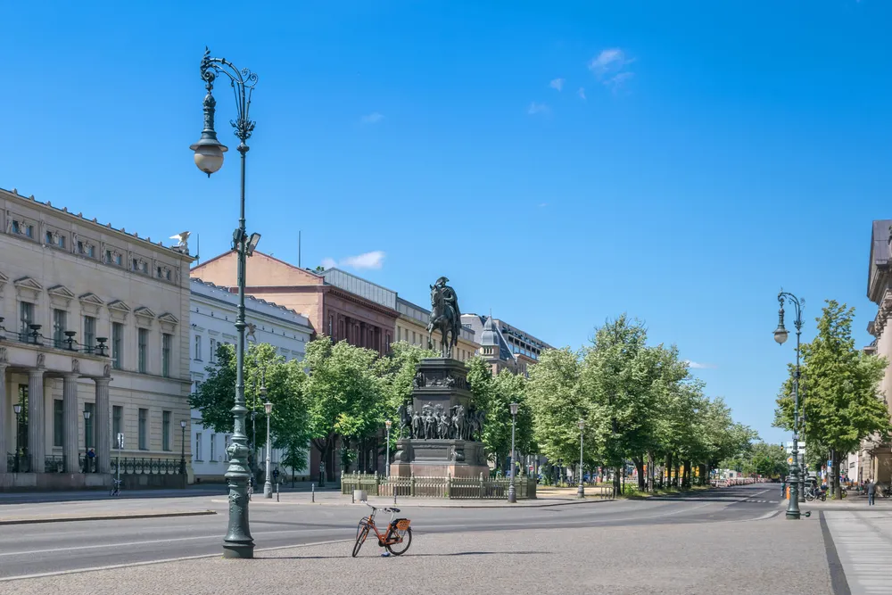
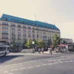
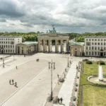
Unter den Linden is a boulevard in the central Mitte district of Berlin, Germany, running from the Berlin Palace to the Brandenburg Gate. It is named after the linden trees (known as lime trees in the UK and Ireland and basswood in North America) that line the grassed pedestrian mall on the median and the two broad carriageways.
This 1.5-kilometer-long boulevard serves as Berlin’s most magnificent and historically significant street, connecting some of the city’s most important landmarks and cultural institutions. The street got its start in the 15th century as a way to connect the royal palace (on what’s now Museum Island) with the king’s hunting grounds (today’s Tiergarten Park).
Created by Elector Johann Georg in 1573 as a bridle path between the City Palace and Tiergarten, Elector Friedrich Wilhelm had the street fortified in 1647. The name also dates from this time, as linden trees were planted next to the fortifications. However, it was under Frederick the Great that Unter den Linden truly became a magnificent boulevard, with the king adding his collection of cultural buildings to the area, including the national opera house and the national library.
The boulevard witnessed dramatic changes throughout the 20th century. In the course of building the Nord-Süd-Tunnel for the Berlin S-Bahn in 1934–35, most of the linden trees were cut down, and during the last days of World War II the remaining trees were destroyed or cut down for firewood. The present-day linden trees were replanted in the 1950s.
Today, Unter den Linden stands as a symbol of Berlin’s reunification, housing world-class museums, historic palaces, embassies, restaurants, cafes, and shops, making it an essential destination for understanding Berlin’s rich history and culture.
Interesting Facts
Visitor Information
Opening Hours
Entrance Fee
Recommended Duration
Best Time to Visit
Address
Unter den Linden, Mitte, Berlin, 10117, GermanyLocation & Map
Tip: Click and drag to explore the map, use scroll wheel to zoom in/out